LEVEL 1 · TROPOSPHERE · FOLLOW
Measure the first flight
Build and use inclinometers to estimate maximum rocket height.
If you can't measure it, you don't know what happened.
Turn flight into data — from simple measurement to sensors, weather instruments and live telemetry.
One agency. Five teams. Your work has to connect with everyone else's.
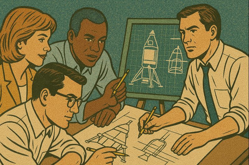
Prove what your team can do. Earn more responsibility. By Level 5, the mission is increasingly yours.
Build and use inclinometers to estimate maximum rocket height.
Use a Micro:bit, Raspberry Pi or suitable sensor platform to record acceleration and cross-check ground measurement.
Turn sensor data into an evidence-based assessment of what a test pilot experiences.
Collect comparable environmental data at ground level and altitude using a calibrated sensor package.
Provide useful live mission data and make sure valuable instruments can be found after landing.
Students earn capabilities. Teams earn independence.